Bournemouth, Christchurch and Poole
Bournemouth, Christchurch and Poole/P/25/04721/TTPO
Broadstone Middle School Dunyeats Road Poole BH18 8AE
- Reference
- Bournemouth, Christchurch and Poole/P/25/04721/TTPO
- Authority
- Bournemouth, Christchurch and Poole
- Application type
- Tree work to tree/s subject to a TPO
- Address
- Broadstone Middle School Dunyeats Road Poole BH18 8AE
- Postcode
- BH18 8AE
- Status
- Does Not Require Consent Skip to tab content. Track this application × To subscribe and follow this planning application please provide us with your full name and email address. Name Email Subscribe Cancel Planning online
- Decision
- Does not require consent
- Received
- 1 Dec 2025
- Started
- 1 Dec 2025
- Decided
- 26 Jan 2026
- Source council
- Bournemouth, Christchurch and Poole
- Council source record
- View public record
- Public data licence
- Open Government Licence v3.0
- Record updated
- 18 Jul 2026
- SEO index generated
- 24 Jul 2026
Location
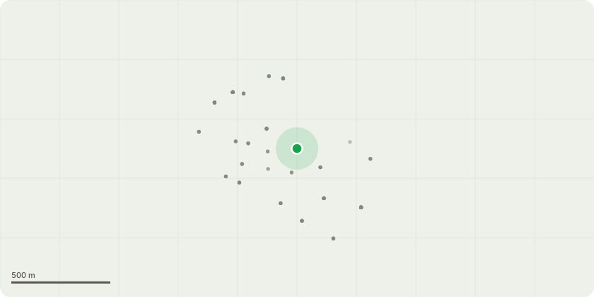
Approximate location
Proposal
T1 - Prunus Cherry - Approx height 3m clear fence by 3 ft by crown raising to 6.5ft removing two lowest branches above manhole cover. T2 - Mature Oak - Remove epicormic growth up to 5m from ground, clear lamppost column by 2.5m. T3 - Amelanchier - Remove secondary competing stem at 9". T4 - Laurel - Approx height 5m reduce all laurel to 4 foot from ground level. T5 - Holly- Fell to ground level. T6 - Pine - 70ft tall, Sparassis fungi sited at base of tree. Fell to ground level. T7 - Scots Pine - 40ft tall, sparassis fungi sited at base of tree. Fell to ground level. T8 - Silver Birch - Fungi bracket noted on main stem with advanced dieback in crown. Fell to ground level. T9, T10, T11, T12, T13 - Willow - Remove all stems in contact of telephone cable to the left and right of access gate. T14 - Scots Pine - Remove singular branch above corner of building. T15 - Sycamore - Remedy poor pruning cut stubs and remove low branch at 5 ft from ground level. T16 - Scots Pine - Remove snapped limb and branch below to raise crown above 2.5m. T17 - Sugar Maple - Approx height 30ft reduce branch directly over shed back to secondary union. T18 - Purple Plum - Approx height 3m heavily leaning. Remove secondary stem to reduce weight and give more upright appearance. T19 - Hawthorn - Approx height 3m remove small chafing branch 5 ft from ground level. T20 - Dead Scots Pine - Fell to ground level. T21, T22, T23, T24 - Cotoneaster - Multiple groupings along raised wall along path behind classrooms causing excessive shade. reduce back in line with retaining wall to allow light. T25 - Silver Birch - Remove 1x branch back to source approx 20ft up where the main fork union divides. T26 - Norway Maple Crimson King - Approx 25 ft tall remove lowest branch in contact either green fence. T27 - Oak - Approx 12ft tall young self seeded tree growing too close to green fence. Fell to ground level.
Key dates
- Received 1 Dec 2025
- Started 1 Dec 2025
- Decided 26 Jan 2026
Planning history / related applications
No related planning applications have been identified in the current public OGL dataset.
Inside plotEdge
Go beyond the public record
This page is the public OGL record. plotEdge adds the private intelligence layer for this site - open it in the app to unlock:
- Ownership & title Registered owner and title from HM Land Registry.
- Viability & build potential Site scoring and development upside.
- Constraints Flood risk, green belt, conservation areas and designations.
- Approval signal Planning risk and approval-likelihood analysis.
- Comparable applications Decisions on similar nearby sites, side by side.
- Status alerts Get notified the moment this application changes.
Source: public planning application data from Bournemouth, Christchurch and Poole, reused under the Open Government Licence v3.0. View the council source record. Council documents and drawings are not republished on plotEdge.