Bournemouth, Christchurch and Poole
Bournemouth, Christchurch and Poole/7-2024-9496-X
Williams Court 24-26 Poole Road Bournemouth BH4 9DT
- Reference
- Bournemouth, Christchurch and Poole/7-2024-9496-X
- Authority
- Bournemouth, Christchurch and Poole
- Application type
- Tree work to tree/s subject to a TPO
- Address
- Williams Court 24-26 Poole Road Bournemouth BH4 9DT
- Postcode
- BH4 9DT
- Status
- Application Approved Skip to tab content. Track this application × To subscribe and follow this planning application please provide us with your full name and email address. Name Email Subscribe Cancel Planning online
- Decision
- Granted
- Received
- 10 Sept 2024
- Started
- 10 Sept 2024
- Decided
- 6 Nov 2024
- Source council
- Bournemouth, Christchurch and Poole
- Council source record
- View public record
- Public data licence
- Open Government Licence v3.0
- Record updated
- 18 Jul 2026
- SEO index generated
- 24 Jul 2026
Location
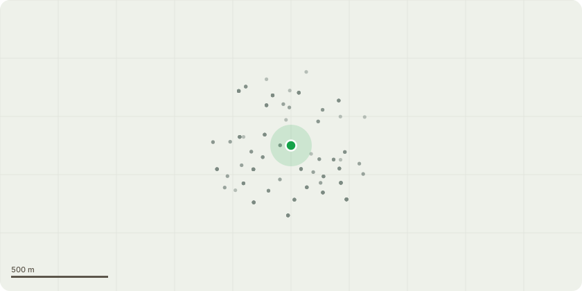
Approximate location
Proposal
G1 Mixes Species Crown raise all overhanging branches and growth from corner of front four parking spaces down to carport by 5.5m for headroom clearance for dust bin lorries. T1 Damson Hazel Remove heavily leaning Damson stem above parking space to ground level. Remove heavily leaning Hazel stem above parking space. Remove dead Hazel stems and branches. T2 Garrya Crown raise low drooping branches above grass area to 4m from ground level to allow light to penetrate bare patch underneath. T3 Copper Beech Crown raise low branches to 3m from ground level to facilitate grounds maintenance works. G2 Mixed species Beech Clear lamp column adjacent to bus stop from above 4m from ground level by 2. Reduce branch tips from Beech back to entrance kerb edge. T4 Pittosporum Remove damaged bark stem directly above kerb line. Remove smaller chafing branch above kerb line. Remove low drooping branch above light bollard and tactile paving back to main stem. T7 Western Red Cedar Tree is in terminal decline and unlikely to recover. Over half of crown is dead with little foliage left in remaining crown. Sectional fell to just below first fork union. G4 Remove 2x self-set Sycamore saplings on bank between Conifer and Yew. T9 Conifer species Remove one drooping branch above bank at 4m from ground level to increase natural daylight into adjacent flats. T10 Yew Remove all epicormic branches up to first main unions at 4m from ground level to increase natural daylight in adjacent flats. G5 Mixed species Crown raise to 5.5m above parking spaces and driveway. T12 Cherry x2 Crown raise to 2m from ground level. Remove deadwood. Remove central rubbing stem on multi-stemmed tree.
Key dates
- Received 10 Sept 2024
- Started 10 Sept 2024
- Decided 6 Nov 2024
Planning history / related applications
No related planning applications have been identified in the current public OGL dataset.
Inside plotEdge
Go beyond the public record
This page is the public OGL record. plotEdge adds the private intelligence layer for this site - open it in the app to unlock:
- Ownership & title Registered owner and title from HM Land Registry.
- Viability & build potential Site scoring and development upside.
- Constraints Flood risk, green belt, conservation areas and designations.
- Approval signal Planning risk and approval-likelihood analysis.
- Comparable applications Decisions on similar nearby sites, side by side.
- Status alerts Get notified the moment this application changes.
Source: public planning application data from Bournemouth, Christchurch and Poole, reused under the Open Government Licence v3.0. View the council source record. Council documents and drawings are not republished on plotEdge.