Blackburn with Darwen
Blackburn with Darwen/10/26/0361
Former Hoddlesden Mill, Johnson New Road, Hoddlesden, Blackburn with Darwen BB3 3NT
- Reference
- Blackburn with Darwen/10/26/0361
- Authority
- Blackburn with Darwen
- Application type
- Non-Material Amendment
- Address
- Former Hoddlesden Mill, Johnson New Road, Hoddlesden, Blackburn with Darwen BB3 3NT
- Postcode
- BB3 3NT
- Status
- FINAL DECISION
- Decision
- Permits 21-05-2026
- Received
- 21 Apr 2026
- Started
- 21 Apr 2026
- Source council
- Blackburn with Darwen
- Council source record
- View public record
- Public data licence
- Open Government Licence v3.0
- Record updated
- 9 Jul 2026
- SEO index generated
- 24 Jul 2026
Location
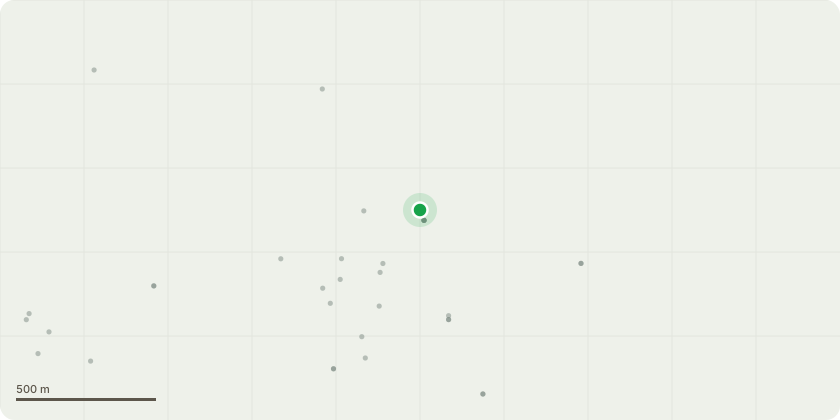
Approximate location
Proposal
Non-material amendment pursuant to planning application 10/23/0277 for: Variation of Condition No.1 (approved drawings) and Condition No. 4 (Boundary Treatments) to regularise amended boundary treatments at Plot 57 [pursuant to planning application 10/22/0064 - "Approval of the reserved matters for the appearance, layout, scale and landscaping for the erection of 72 residential units comprising 58 detached and semi-detached dwellings and 14 apartments pursuant to application 10/21/0008" - to make amendments to: Plots 5 & 42 (set back 1m further from the road); Plots 12 & 13 (slight repositioning of plots); Plot 14 (handing of the property); Plots 20 & 21 (plots swapped and handed/incl of bin store/relocate rear stepped access); Plots 30, 65 & 69 (update to windows and door due to site levels); Boundary treatment to rear Plots 1-22 (rail up to 1.1m high across boundary); Boundary treatment to rear Plots 30-39 (addition of 800mm sleeper along rear gardens with 1.8m high acoustic fence to Plots 30- 32 and 3m close boarded fence to Plots 33-39; Apartment building - updates to doors/windows/materials - structural design requirements & Building Regulations"]
Key dates
- Received 21 Apr 2026
- Started 21 Apr 2026
Planning history / related applications
No related planning applications have been identified in the current public OGL dataset.
Inside plotEdge
Go beyond the public record
This page is the public OGL record. plotEdge adds the private intelligence layer for this site - open it in the app to unlock:
- Ownership & title Registered owner and title from HM Land Registry.
- Viability & build potential Site scoring and development upside.
- Constraints Flood risk, green belt, conservation areas and designations.
- Approval signal Planning risk and approval-likelihood analysis.
- Comparable applications Decisions on similar nearby sites, side by side.
- Status alerts Get notified the moment this application changes.
Source: public planning application data from Blackburn with Darwen, reused under the Open Government Licence v3.0. View the council source record. Council documents and drawings are not republished on plotEdge.