Blackburn with Darwen
Blackburn with Darwen/10/26/0286
Land at Bank Hey Farm Heys Lane Blackburn
- Reference
- Blackburn with Darwen/10/26/0286
- Authority
- Blackburn with Darwen
- Application type
- Non-Material Amendment
- Address
- Land at Bank Hey Farm Heys Lane Blackburn
- Status
- FINAL DECISION
- Decision
- Permits 14-04-2026
- Received
- 25 Mar 2026
- Started
- 25 Mar 2026
- Source council
- Blackburn with Darwen
- Council source record
- View public record
- Public data licence
- Open Government Licence v3.0
- Record updated
- 9 Jul 2026
- SEO index generated
- 24 Jul 2026
Location
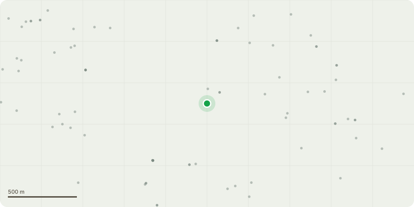
Approximate location
Proposal
Non-material amendment pursuant to planning application 10/25/0979 "Variation of Condition Nos. 2 (approved drawings), 4 (materials), 5 (boundary treatments), 6 (finished floor levels and external garden levels), 13 (noise and vibration of foundation works), 15 (construction and environmental management plan), 16 (travel plan), 24 (badger survey), 25 (ecological appraisal), 26 (invasive plant species survey), 28 (biodiversity net gain plan), 30 (arb method statement), 37 (swept path analysis), 39 (archaeological work), 41 (energy statement) and 42 (accessible and adaptable plots) pursuant to planning application 10/24/0735 for amendments to various plots, addition of a pond (adjacent to plots 20-22, change of house type, amendment to attenuation pond adjacent to plots 83 & 84, to vary conditions to regularise these proposed changes, and to vary conditions previously complied with as compliance conditions." - reword Condition No.42 to: "The development hereby approved shall be implemented in accordance with the plots certified as 'accessible and adaptable' in accordance iwth Part M4(2) of the Building Regulations as shown on plan 'BHB.P01 Rev T Planning Layout".
Key dates
- Received 25 Mar 2026
- Started 25 Mar 2026
Planning history / related applications
No related planning applications have been identified in the current public OGL dataset.
Inside plotEdge
Go beyond the public record
This page is the public OGL record. plotEdge adds the private intelligence layer for this site - open it in the app to unlock:
- Ownership & title Registered owner and title from HM Land Registry.
- Viability & build potential Site scoring and development upside.
- Constraints Flood risk, green belt, conservation areas and designations.
- Approval signal Planning risk and approval-likelihood analysis.
- Comparable applications Decisions on similar nearby sites, side by side.
- Status alerts Get notified the moment this application changes.
Source: public planning application data from Blackburn with Darwen, reused under the Open Government Licence v3.0. View the council source record. Council documents and drawings are not republished on plotEdge.