Blackburn with Darwen
Blackburn with Darwen/10/26/0218
The Barlow Bolton Road Turton Bolton BL7 0AP
- Reference
- Blackburn with Darwen/10/26/0218
- Authority
- Blackburn with Darwen
- Application type
- Application to undertake works to protected trees
- Address
- The Barlow Bolton Road Turton Bolton BL7 0AP
- Postcode
- BL7 0AP
- Status
- FINAL DECISION
- Decision
- Grant 18-03-2026
- Received
- 18 Mar 2026
- Started
- 18 Mar 2026
- Source council
- Blackburn with Darwen
- Council source record
- View public record
- Public data licence
- Open Government Licence v3.0
- Record updated
- 9 Jul 2026
- SEO index generated
- 24 Jul 2026
Location
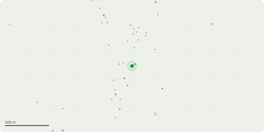
Approximate location
Proposal
T502 (Sycamore) - Clear streetlight to achieve 2m clearance T504 (Sycamore) - Remove deadwood from crown T505 (Sycamore) - Clear streetlight to achieve 2m clearance T507 (Sycamore) - Clear streetlight to achieve 2m clearance T513 (Ash) - Sever and clear ivy from base of tree T518 (Sycamore) - Prune to clear sign and clear building to achieve a 2 metre clearance T519 (Sycamore) - Clear streetlight to achieve 2m clearance T251 (Sycamore) - Sever and clear ivy from base of tree T526 (Lime) - Three large lime trees remove epicormic from base of tree to allow inspection of the lower stem T516 (Ash) - Branches on limb over play area has historic fails - remove limb over play area T517 (Birch) - All round crown reduction by 2 metres to alleviate loading on primary union and extended limb T520 (Prunus) - Fell tree as hollow, weighted over bowling green and telephone wires T528 (Beech) - Large beech tree with significantly compromised primary union. Reduce the large southeast section of the tree all round by 40%. This is to reduce weight, alleviate load on compromised union and clear tree section fronm impact to footpaths.
Key dates
- Received 18 Mar 2026
- Started 18 Mar 2026
Planning history / related applications
No related planning applications have been identified in the current public OGL dataset.
Inside plotEdge
Go beyond the public record
This page is the public OGL record. plotEdge adds the private intelligence layer for this site - open it in the app to unlock:
- Ownership & title Registered owner and title from HM Land Registry.
- Viability & build potential Site scoring and development upside.
- Constraints Flood risk, green belt, conservation areas and designations.
- Approval signal Planning risk and approval-likelihood analysis.
- Comparable applications Decisions on similar nearby sites, side by side.
- Status alerts Get notified the moment this application changes.
Source: public planning application data from Blackburn with Darwen, reused under the Open Government Licence v3.0. View the council source record. Council documents and drawings are not republished on plotEdge.