Blackburn with Darwen
Blackburn with Darwen/10/25/0133
Mossfield Pleasington Lane Pleasington Blackburn BB2 5JH
- Reference
- Blackburn with Darwen/10/25/0133
- Authority
- Blackburn with Darwen
- Application type
- Application to undertake works to protected trees
- Address
- Mossfield Pleasington Lane Pleasington Blackburn BB2 5JH
- Postcode
- BB2 5JH
- Status
- FINAL DECISION
- Decision
- Grant 28-03-2025
- Received
- 28 Mar 2025
- Started
- 28 Mar 2025
- Source council
- Blackburn with Darwen
- Council source record
- View public record
- Public data licence
- Open Government Licence v3.0
- Record updated
- 9 Jul 2026
- SEO index generated
- 24 Jul 2026
Location
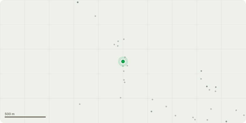
Approximate location
Proposal
18.2 T933 Horse Chestnut has 3x leading stems that have a poor union attachment at the base of the tree, the upper canopy has a suppressed form due to the more dominant surrounding trees, as such, the tree will never achieve a full canopy shape and become more unbalanced as it continues to grow into the free space away from its perpendicular form. This combined with the reduced strenght of the base unions it is recommended that the tree is removed to ground level, stump grinding in this location is optional. 18.3. The two Beech trees T942 & T943 at the entance of the driveway are entangled into the phone wires that are connected to the utility pole in the public footpath, remedial pruning to remove any branch that is. or has, allow an unrestricted path for the wires to run. 18.4 Some of the trees are encroaching the neighbours boundary lines and there is the start of encroachment towards property, and as such boundary and property clearance pruning are recommended
Key dates
- Received 28 Mar 2025
- Started 28 Mar 2025
Planning history / related applications
No related planning applications have been identified in the current public OGL dataset.
Inside plotEdge
Go beyond the public record
This page is the public OGL record. plotEdge adds the private intelligence layer for this site - open it in the app to unlock:
- Ownership & title Registered owner and title from HM Land Registry.
- Viability & build potential Site scoring and development upside.
- Constraints Flood risk, green belt, conservation areas and designations.
- Approval signal Planning risk and approval-likelihood analysis.
- Comparable applications Decisions on similar nearby sites, side by side.
- Status alerts Get notified the moment this application changes.
Source: public planning application data from Blackburn with Darwen, reused under the Open Government Licence v3.0. View the council source record. Council documents and drawings are not republished on plotEdge.