Bexley
Bexley/25/00540/ALA
London Borough Of Bromley Flamingo Park Club Sidcup By Pass Road Chislehurst BR7 6HL
- Reference
- Bexley/25/00540/ALA
- Authority
- Bexley
- Application type
- ALA
- Address
- London Borough Of Bromley Flamingo Park Club Sidcup By Pass Road Chislehurst BR7 6HL
- Postcode
- BR7 6HL
- Status
- Decided
- Decision
- Observations sent
- Received
- 14 Mar 2025
- Validated
- 14 Mar 2025
- Started
- 14 Mar 2025
- Decided
- 3 Apr 2025
- Source council
- Bexley
- Council source record
- View public record
- Public data licence
- Open Government Licence v3.0
- Record updated
- 18 Jul 2026
- SEO index generated
- 24 Jul 2026
Location
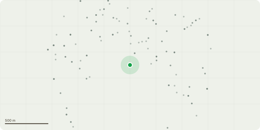
Approximate location
Proposal
Neighbouring borough Consultation for : Section 73 application to allow for the variation of conditions 2 (phasing), and 39 (tenurechange from affordable to market housing) and the variation of the wording of conditions 3 (levels), 4(changing provision), 5 (playing fields), 7 (materials), 8 (landscaping), 9 (arboricultural method statement), 10 (tree protection monitoring), 11 (dust management plan), 12 (construction management plan), 15 (demolition and construction noise management plan), 16 (glazing and ventilation), 17 (crime prevention measures), 18 (surface water drainage), 19 (refuse storage), 20 (energy statement), 21(archaeology), 23 (biodiversity management plan), 24 (pedestrian access removal), 25 (artificial pitch), 28 (boundary enclosures), and 29 (cycle parking), granted under Ref. No. 17/04478/FULL1 for the demolition of existing nightclub building and other buildings and structures and removal of existing hardstanding and construction of new football ground comprising clubhouse and stands (max height approx. 8.4m) with floodlit artificial playing pitch, external grass sports pitches and 42 no. dwellings(26x3 bed two storey terraced dwellings, 12x2 bed flats and 4x1 bed flats set within 4 two storey blocks) with associated access, parking and landscaping Local Planning
Key dates
- Received 14 Mar 2025
- Validated 14 Mar 2025
- Started 14 Mar 2025
- Decided 3 Apr 2025
Planning history / related applications
No related planning applications have been identified in the current public OGL dataset.
Inside plotEdge
Go beyond the public record
This page is the public OGL record. plotEdge adds the private intelligence layer for this site - open it in the app to unlock:
- Ownership & title Registered owner and title from HM Land Registry.
- Viability & build potential Site scoring and development upside.
- Constraints Flood risk, green belt, conservation areas and designations.
- Approval signal Planning risk and approval-likelihood analysis.
- Comparable applications Decisions on similar nearby sites, side by side.
- Status alerts Get notified the moment this application changes.
Source: public planning application data from Bexley, reused under the Open Government Licence v3.0. View the council source record. Council documents and drawings are not republished on plotEdge.