Bath and North East Somerset
Bath and North East Somerset/25/04947/LBA
Basement Flat 1, 14 Marlborough Buildings, City Centre, Bath, Bath And North East Somerset, BA1 2LX
- Reference
- Bath and North East Somerset/25/04947/LBA
- Authority
- Bath and North East Somerset
- Application type
- Listed Building Consent (Alts/exts)
- Address
- Basement Flat 1, 14 Marlborough Buildings, City Centre, Bath, Bath And North East Somerset, BA1 2LX
- Postcode
- BA1 2LX
- Status
- Consent
- Received
- 23 Dec 2025
- Started
- 23 Dec 2025
- Decided
- 8 May 2026
- Source council
- Bath and North East Somerset
- Council source record
- View public record
- Public data licence
- Open Government Licence v3.0
- Record updated
- 18 Jul 2026
- SEO index generated
- 24 Jul 2026
Location
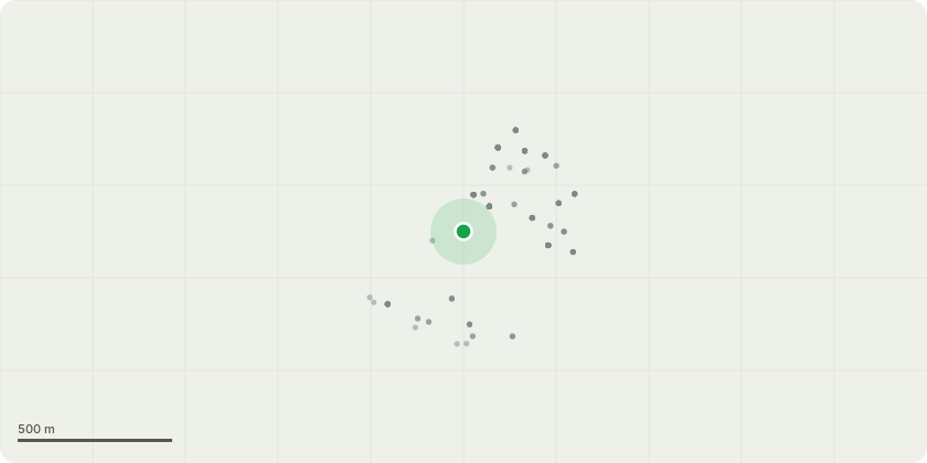
Approximate location
Proposal
Internal and external works to add false ceiling that follows curve of vaults to conceal services. New glazed traditional window with glazing bars, timbre frame and window putty to fix single glazing in place. Restore shutters (currently painted shut). Reveal and restore original range. Stone painted with oil based paint to be removed. Suspected concealed detailing to be revealed. New Glazed door (timber and panel in the traditional style). New Kitchen. Remove all existing walls and re instate original plan form. Use existing connections and new slate floor. New ceiling and new Georgian style coving throughout areas of new works (not back room). Retain existing ceiling and add new Georgian style coving throughout areas of new works (not back room). Existing ceiling needed for services. Extend and adapt wall to reform original parlour passage. Form lower WC & pantry with high level glazing. Existing higher floor level retained and stone steps added.
Key dates
- Received 23 Dec 2025
- Started 23 Dec 2025
- Decided 8 May 2026
Planning history / related applications
No related planning applications have been identified in the current public OGL dataset.
Inside plotEdge
Go beyond the public record
This page is the public OGL record. plotEdge adds the private intelligence layer for this site - open it in the app to unlock:
- Ownership & title Registered owner and title from HM Land Registry.
- Viability & build potential Site scoring and development upside.
- Constraints Flood risk, green belt, conservation areas and designations.
- Approval signal Planning risk and approval-likelihood analysis.
- Comparable applications Decisions on similar nearby sites, side by side.
- Status alerts Get notified the moment this application changes.
Source: public planning application data from Bath and North East Somerset, reused under the Open Government Licence v3.0. View the council source record. Council documents and drawings are not republished on plotEdge.