Bath and North East Somerset
Bath and North East Somerset/25/02521/VAR
14 Marlborough Buildings, City Centre, Bath, Bath And North East Somerset, BA1 2LX
- Reference
- Bath and North East Somerset/25/02521/VAR
- Authority
- Bath and North East Somerset
- Application type
- Application for Variation of Condition
- Address
- 14 Marlborough Buildings, City Centre, Bath, Bath And North East Somerset, BA1 2LX
- Postcode
- BA1 2LX
- Status
- Application Permitted
- Received
- 27 Jun 2025
- Started
- 27 Jun 2025
- Decided
- 20 Aug 2025
- Source council
- Bath and North East Somerset
- Council source record
- View public record
- Public data licence
- Open Government Licence v3.0
- Record updated
- 18 Jul 2026
- SEO index generated
- 24 Jul 2026
Location
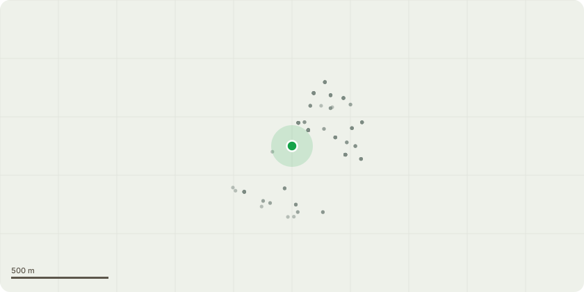
Approximate location
Proposal
Variation of condition 2 (Plans List) of application 23/04035/FUL (Replace existing sash windows with slimline vacuum glazed units and reinstate the historic small-pane glazing arrangement. Removal of a series of internal partitions, along with a shower room, mezzanine and staircase, to revert this principal room back to its original proportions to form a kitchen, dining and living space. Replacement staircase is proposed and the library door is to be returned to its original position. Enlarge cupboard at second floor level to convert to an ensuite bathroom. Removal of 20th century panelling in the principal room, a new bookcase in the library, removal of the false ceiling in the second floor shower room and hallway, and the replacement of the existing staircase in the master bedroom).
Key dates
- Received 27 Jun 2025
- Started 27 Jun 2025
- Decided 20 Aug 2025
Planning history / related applications
No related planning applications have been identified in the current public OGL dataset.
Inside plotEdge
Go beyond the public record
This page is the public OGL record. plotEdge adds the private intelligence layer for this site - open it in the app to unlock:
- Ownership & title Registered owner and title from HM Land Registry.
- Viability & build potential Site scoring and development upside.
- Constraints Flood risk, green belt, conservation areas and designations.
- Approval signal Planning risk and approval-likelihood analysis.
- Comparable applications Decisions on similar nearby sites, side by side.
- Status alerts Get notified the moment this application changes.
Source: public planning application data from Bath and North East Somerset, reused under the Open Government Licence v3.0. View the council source record. Council documents and drawings are not republished on plotEdge.