Bath and North East Somerset
Bath and North East Somerset/23/03615/TCA
Grosvenor Villa , Grosvenor Bridge Road, Lambridge, Bath, Bath And North East Somerset, BA1 6BB
- Reference
- Bath and North East Somerset/23/03615/TCA
- Authority
- Bath and North East Somerset
- Application type
- Tree Works Notification in Con Area
- Address
- Grosvenor Villa , Grosvenor Bridge Road, Lambridge, Bath, Bath And North East Somerset, BA1 6BB
- Postcode
- BA1 6BB
- Status
- No Objection
- Received
- 26 Sept 2023
- Started
- 26 Sept 2023
- Decided
- 31 Oct 2023
- Source council
- Bath and North East Somerset
- Council source record
- View public record
- Public data licence
- Open Government Licence v3.0
- Record updated
- 18 Jul 2026
- SEO index generated
- 24 Jul 2026
Location
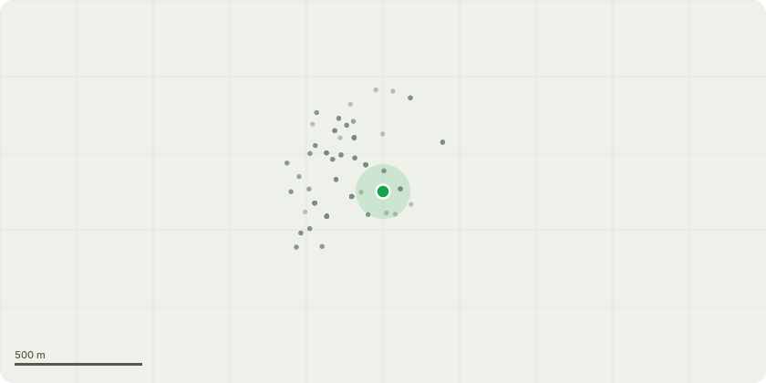
Approximate location
Proposal
T1-Sycamore, removal. T2-Ash, removal. A tree surgeon has identified a potential split in the tree trunks. He has advised that this could be extremely dangerous as sycamore could come away from the tree falling onto the public highway (Grosvenor Bridge Road) and Ash tree onto busy London road on the bus stop potentially causing damage/injury to the public. As the owner of the trees we owe a duty of care and to that extent to remove any risk the tree needs to be removed as soon as possible. (see photos) In addition: - 18/03834/FUL - The roots have already pushed through stone boundary wall by other trees (An application was made in 2018 18/03834/FUL) which lead to rebuilt the part of the wall and now the same thing happening to this part of the wall , making it dangerous for visitors to the property, walking path user and the traffic.
Key dates
- Received 26 Sept 2023
- Started 26 Sept 2023
- Decided 31 Oct 2023
Planning history / related applications
No related planning applications have been identified in the current public OGL dataset.
Inside plotEdge
Go beyond the public record
This page is the public OGL record. plotEdge adds the private intelligence layer for this site - open it in the app to unlock:
- Ownership & title Registered owner and title from HM Land Registry.
- Viability & build potential Site scoring and development upside.
- Constraints Flood risk, green belt, conservation areas and designations.
- Approval signal Planning risk and approval-likelihood analysis.
- Comparable applications Decisions on similar nearby sites, side by side.
- Status alerts Get notified the moment this application changes.
Source: public planning application data from Bath and North East Somerset, reused under the Open Government Licence v3.0. View the council source record. Council documents and drawings are not republished on plotEdge.