Bath and North East Somerset
Bath and North East Somerset/23/02188/TCA
The Royal High School , Lansdown Road, Lansdown, Bath, Bath And North East Somerset, BA1 5SZ
- Reference
- Bath and North East Somerset/23/02188/TCA
- Authority
- Bath and North East Somerset
- Application type
- Tree Works Notification in Con Area
- Address
- The Royal High School , Lansdown Road, Lansdown, Bath, Bath And North East Somerset, BA1 5SZ
- Postcode
- BA1 5SZ
- Status
- No Objection
- Received
- 14 Jun 2023
- Started
- 14 Jun 2023
- Decided
- 25 Jul 2023
- Source council
- Bath and North East Somerset
- Council source record
- View public record
- Public data licence
- Open Government Licence v3.0
- Record updated
- 18 Jul 2026
- SEO index generated
- 24 Jul 2026
Location
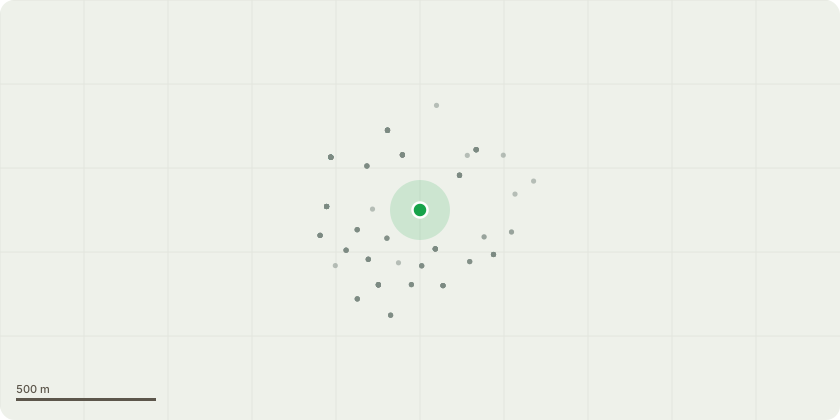
Approximate location
Proposal
T397-Fraxinus Excelsior-Fell due to advance stages of Hymenoscyphus Fraxineus T66 - Pinus sylvestris - Reduce lateral branch of crown but 1m leaving cuts no bigger than 50mm maintaining height of 18m and radialspread of 5m - To reduce wind loading on declining tree. T764 - Acer pseudoplatanus - Crown reduce northwest side of crown over car park by 1m to reduce weight on lateral branches leaving height of 10m and radial spread of 8m - The tree is showing signs of retrenchment and the work is to reduce the longer laterals over the carpark to reduce the risk of failure. T3518 - Pinus nigra - Reduce lowest lateral south facing branch by 2m (maintaining hight of 16m and radial spread of 6m) - due to extensive weight on branch and to reduce the risk of failure. T4240-Fagus Sylvatica-Reduce South side of tree over lawned area by no more than 3m(cuts no bigger than 50mm)leaving height of 22m and radial spread of 10m-Due to excessive loading on lateral branches on South side of tree, the work is to mitigate against branch failure. T400-Salix Caprea-Coppice leaving a height of 1m-due to area being used by the school for woodland aactivities and the tree having multiple split and snapped branches. T665-Tilia x Europa-reduce lateral branches by 2m to leave height of 23m and radial spread of 5m-to reduce loading on main union of tree.
Key dates
- Received 14 Jun 2023
- Started 14 Jun 2023
- Decided 25 Jul 2023
Planning history / related applications
No related planning applications have been identified in the current public OGL dataset.
Inside plotEdge
Go beyond the public record
This page is the public OGL record. plotEdge adds the private intelligence layer for this site - open it in the app to unlock:
- Ownership & title Registered owner and title from HM Land Registry.
- Viability & build potential Site scoring and development upside.
- Constraints Flood risk, green belt, conservation areas and designations.
- Approval signal Planning risk and approval-likelihood analysis.
- Comparable applications Decisions on similar nearby sites, side by side.
- Status alerts Get notified the moment this application changes.
Source: public planning application data from Bath and North East Somerset, reused under the Open Government Licence v3.0. View the council source record. Council documents and drawings are not republished on plotEdge.