Bath and North East Somerset
Bath and North East Somerset/22/04359/COND
Publow Farm , Blackrock Lane, Publow, Bristol, Bath And North East Somerset, BS39 4HZ
- Reference
- Bath and North East Somerset/22/04359/COND
- Authority
- Bath and North East Somerset
- Application type
- Discharge of Condition
- Address
- Publow Farm , Blackrock Lane, Publow, Bristol, Bath And North East Somerset, BS39 4HZ
- Postcode
- BS39 4HZ
- Status
- Condition Discharged
- Received
- 28 Oct 2022
- Started
- 28 Oct 2022
- Decided
- 6 Feb 2023
- Source council
- Bath and North East Somerset
- Council source record
- View public record
- Public data licence
- Open Government Licence v3.0
- Record updated
- 18 Jul 2026
- SEO index generated
- 24 Jul 2026
Location
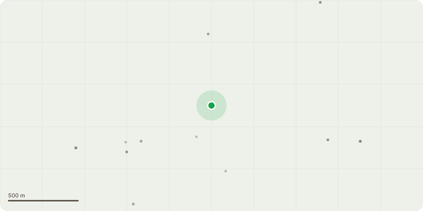
Approximate location
Proposal
Discharge of condition 5 (Bat and Wildlife Protection, Mitigation and Enhancement Scheme) of application 21/04301/FUL (Internal and external alterations including the relocation of the existing access gates and construction of a new stone wall and oil tank/ bin storage area.) The licence includes a detailed pre-construction and construction method statement which addresses the requirements of sub paragraphs (i), and (ii) of the conditions to the aforementioned Listed Building and Planning Consents. A plan of the location of the bat boxes required by the licence is also uploaded and is as recommended by our ecologist in the Bat Survey. The Bat Survey also recommended making some provision for nesting birds in the form of bird boxes for swifts and a little owl. A plan showing the proposed location of two swift boxes and a little owl box has been uploaded as a supporting document to address the requirements of with sub paragraph (iii) of the conditions to the aforementioned Listed Building and Planning Consents. The location of the swift boxes is chosen because this is close to the entrance to a storage barn where they frequently nest and will give them more option. The little owl is usually seen at the bottom of the garden so a box will be placed in one of the established trees, away from noise and light.
Key dates
- Received 28 Oct 2022
- Started 28 Oct 2022
- Decided 6 Feb 2023
Planning history / related applications
No related planning applications have been identified in the current public OGL dataset.
Inside plotEdge
Go beyond the public record
This page is the public OGL record. plotEdge adds the private intelligence layer for this site - open it in the app to unlock:
- Ownership & title Registered owner and title from HM Land Registry.
- Viability & build potential Site scoring and development upside.
- Constraints Flood risk, green belt, conservation areas and designations.
- Approval signal Planning risk and approval-likelihood analysis.
- Comparable applications Decisions on similar nearby sites, side by side.
- Status alerts Get notified the moment this application changes.
Source: public planning application data from Bath and North East Somerset, reused under the Open Government Licence v3.0. View the council source record. Council documents and drawings are not republished on plotEdge.