Bath and North East Somerset
Bath and North East Somerset/21/05112/FUL
Rosemount, Ham Hill, Radstock, Bath And North East Somerset, BA3 3BA
- Reference
- Bath and North East Somerset/21/05112/FUL
- Authority
- Bath and North East Somerset
- Application type
- Full Application
- Address
- Rosemount, Ham Hill, Radstock, Bath And North East Somerset, BA3 3BA
- Postcode
- BA3 3BA
- Status
- Application Permitted
- Received
- 16 Nov 2021
- Started
- 16 Nov 2021
- Decided
- 11 Feb 2022
- Source council
- Bath and North East Somerset
- Council source record
- View public record
- Public data licence
- Open Government Licence v3.0
- Record updated
- 18 Jul 2026
- SEO index generated
- 24 Jul 2026
Location
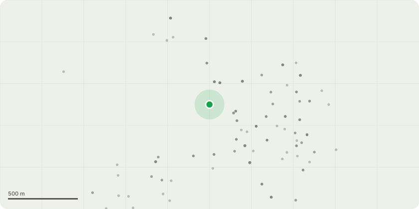
Approximate location
Proposal
Removal of white PVC front door and a single glazed window at the front of the property and replace with bi-fold doors leading onto raised decking. Removal of large tarmac area, fishpond, raised bed and stone retaining wall at the front of the property replace with new paths will be built, raised beds erected and some of the area will be laid to gravel. Circular steps to composite decking area will be built. Removal of patio area, stone sloped path and metal handrail to the side of the house and replace with porcelain patio, paving and patio. New railings and steps installed at side of house. Existing steps will be replaced, lights will be fitted on the steps, there will also be recessed lighting and tree uplighting.
Key dates
- Received 16 Nov 2021
- Started 16 Nov 2021
- Decided 11 Feb 2022
Planning history / related applications
No related planning applications have been identified in the current public OGL dataset.
Inside plotEdge
Go beyond the public record
This page is the public OGL record. plotEdge adds the private intelligence layer for this site - open it in the app to unlock:
- Ownership & title Registered owner and title from HM Land Registry.
- Viability & build potential Site scoring and development upside.
- Constraints Flood risk, green belt, conservation areas and designations.
- Approval signal Planning risk and approval-likelihood analysis.
- Comparable applications Decisions on similar nearby sites, side by side.
- Status alerts Get notified the moment this application changes.
Source: public planning application data from Bath and North East Somerset, reused under the Open Government Licence v3.0. View the council source record. Council documents and drawings are not republished on plotEdge.