Basingstoke and Deane
Basingstoke and Deane/T/00554/24/TCA
The Vicarage High Street St Mary Bourne Hampshire SP11 6AY
- Reference
- Basingstoke and Deane/T/00554/24/TCA
- Authority
- Basingstoke and Deane
- Application type
- Trees in conservation area
- Address
- The Vicarage High Street St Mary Bourne Hampshire SP11 6AY
- Postcode
- SP11 6AY
- Status
- Unknown
- Decision
- Raise No Objection
- Received
- 11 Nov 2024
- Validated
- 11 Nov 2024
- Started
- 11 Nov 2024
- Decided
- 16 Dec 2024
- Source council
- Basingstoke and Deane
- Council source record
- View public record
- Public data licence
- Open Government Licence v3.0
- Record updated
- 18 Jul 2026
- SEO index generated
- 24 Jul 2026
Location
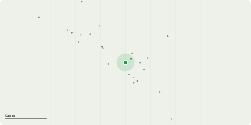
Approximate location
Proposal
There are 6 trees we wish to remove and replace. T1 and T2. Removal of two ash trees. The property has a flint and brick wall facing the roadside which has had significant structural movement and is now leaning toward the road/verge. This lean is caused by two ash trees which are planted next to the wall and whose roots are now pushing it over. T3, T4, T5, T6. Removal of two ash trees and two conifers. There is a cob wall running down the north side of the property. This cob wall is named in the conservation area appraisal. Along the cob wall are several trees that are now too big and too close to the wall and are now causing it damage, as well as concealing it from enjoyment. In addition two of the ash trees and one of the conifers are in close proximity to the house which has significant cracking at foundation/air brick level on the corner nearest these trees (whether this is directly linked is unknown - but it is cause for concern). N1. Replacement of one conifer by one oak, placed further away from the wall. The tree type selected so as not to have low branches pushing against the wall. N2-6. Replacement of ash trees by fruit trees placed at the end of the garden and away from the wall to create a small orchard.
Key dates
- Received 11 Nov 2024
- Validated 11 Nov 2024
- Started 11 Nov 2024
- Decided 16 Dec 2024
Planning history / related applications
No related planning applications have been identified in the current public OGL dataset.
Inside plotEdge
Go beyond the public record
This page is the public OGL record. plotEdge adds the private intelligence layer for this site - open it in the app to unlock:
- Ownership & title Registered owner and title from HM Land Registry.
- Viability & build potential Site scoring and development upside.
- Constraints Flood risk, green belt, conservation areas and designations.
- Approval signal Planning risk and approval-likelihood analysis.
- Comparable applications Decisions on similar nearby sites, side by side.
- Status alerts Get notified the moment this application changes.
Source: public planning application data from Basingstoke and Deane, reused under the Open Government Licence v3.0. View the council source record. Council documents and drawings are not republished on plotEdge.