Basingstoke and Deane
Basingstoke and Deane/T/00461/25/TCA
10 Bible Fields Dummer Hampshire RG25 2AN
- Reference
- Basingstoke and Deane/T/00461/25/TCA
- Authority
- Basingstoke and Deane
- Application type
- Trees in conservation area
- Address
- 10 Bible Fields Dummer Hampshire RG25 2AN
- Postcode
- RG25 2AN
- Status
- Unknown
- Decision
- Raise No Objection
- Received
- 9 Sept 2025
- Validated
- 9 Sept 2025
- Started
- 9 Sept 2025
- Decided
- 15 Oct 2025
- Source council
- Basingstoke and Deane
- Council source record
- View public record
- Public data licence
- Open Government Licence v3.0
- Record updated
- 18 Jul 2026
- SEO index generated
- 24 Jul 2026
Location
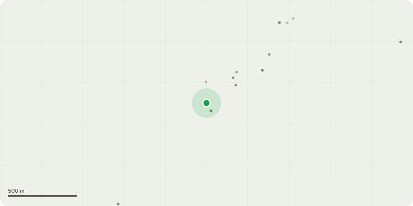
Approximate location
Proposal
For identification of trees see attached plans.T1 (short row of hazel) - crown reduction - see 2 current and 1 previous photograph- reduce the height to 20 feet (based on an estimated height of 35 feet)- reduce the width of the row (perpendicular to the adjacent boundary) to 10 feet from an estimated 20-25 feet in order to return them to their original depth- reduce the length of the row by a small proportion to match the above[This is a restatement of work on T3 in approved 2021 application Planning Portal Reference: PP-09821033 which I was unable to implement in the allowed time; in the intervening time the hazels have grown significantly - especially in the depth with the result that they are now above a fruit tree and a shed]T2 (bramley apple tree) - notification of general maintenance - see 1 current photoigraph- removal of badly cracked branch that is now leaning on the ground - this is in the front of the tree as seen in the photograph- remove a few medium sized branches sticking up at the top of the tree to reduce its height to 20 feet (based on an estimated height of 25 feet)
Key dates
- Received 9 Sept 2025
- Validated 9 Sept 2025
- Started 9 Sept 2025
- Decided 15 Oct 2025
Planning history / related applications
No related planning applications have been identified in the current public OGL dataset.
Inside plotEdge
Go beyond the public record
This page is the public OGL record. plotEdge adds the private intelligence layer for this site - open it in the app to unlock:
- Ownership & title Registered owner and title from HM Land Registry.
- Viability & build potential Site scoring and development upside.
- Constraints Flood risk, green belt, conservation areas and designations.
- Approval signal Planning risk and approval-likelihood analysis.
- Comparable applications Decisions on similar nearby sites, side by side.
- Status alerts Get notified the moment this application changes.
Source: public planning application data from Basingstoke and Deane, reused under the Open Government Licence v3.0. View the council source record. Council documents and drawings are not republished on plotEdge.