Basingstoke and Deane
Basingstoke and Deane/T/00423/25/TCA
Old Steventon School Ashe Park Lane Steventon Hampshire RG25 3BH
- Reference
- Basingstoke and Deane/T/00423/25/TCA
- Authority
- Basingstoke and Deane
- Application type
- Trees in conservation area
- Address
- Old Steventon School Ashe Park Lane Steventon Hampshire RG25 3BH
- Postcode
- RG25 3BH
- Status
- Unknown
- Decision
- Raise No Objection
- Received
- 21 Aug 2025
- Validated
- 24 Aug 2025
- Started
- 24 Aug 2025
- Decided
- 16 Sept 2025
- Source council
- Basingstoke and Deane
- Council source record
- View public record
- Public data licence
- Open Government Licence v3.0
- Record updated
- 18 Jul 2026
- SEO index generated
- 24 Jul 2026
Location
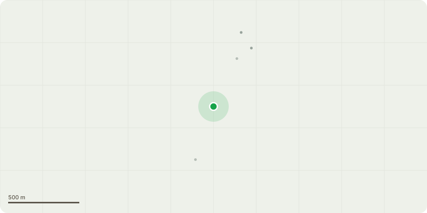
Approximate location
Proposal
Lawson Cypress x2 (T1,T2)-Removal. The specimens are in poor form, overshadowing the property, causing disturbance to both driveway, house foundations and roadside wall. The trees will be removed with the intent to replant with a more suitable native specimen that fits the surrounding area.Ash x2 (T3,T4)-Removal. Both trees have been previously "topped" and are in poor form, and within close proximity to the outbuilding. The trees hold no amenity value. Ash (T5)-Selective tip reduction. The specimen is dominant to the surrounding area and is breaks into 3x major multi stems at 1 meter. Minor signs of dieback are evident within the upper canopy; both the applicant and myself are keen to attempt to preserve the tree by seltivly tip reducing the hazard beams by 2.5meters to appropriate pruning points. Finished measurements are hard to provide due to the trees location however a pruning line has been provided in the photographs. By doing this we are aiming to alleviate the stresses posed at the lower unions, whilst hoping to re-generate some healthy re-growth in response to the work. Birch (T6)-Reduction, of 1.5 meters from the upper canopy giving a finished height of 16.5meters, the remains lower canopy will be reduced to by a maximum of 1meter to create an even balanced canopy. Birch (T7)-Removal. Previously topped and interfering with the cables. Cedar (T8)-Crown Raise, of 6meters to clear the lower overhead services whilst ensuring wound sizes are kept small. Also by undertaking this work it will open the rear visitor of the parkland.
Key dates
- Received 21 Aug 2025
- Validated 24 Aug 2025
- Started 24 Aug 2025
- Decided 16 Sept 2025
Planning history / related applications
No related planning applications have been identified in the current public OGL dataset.
Inside plotEdge
Go beyond the public record
This page is the public OGL record. plotEdge adds the private intelligence layer for this site - open it in the app to unlock:
- Ownership & title Registered owner and title from HM Land Registry.
- Viability & build potential Site scoring and development upside.
- Constraints Flood risk, green belt, conservation areas and designations.
- Approval signal Planning risk and approval-likelihood analysis.
- Comparable applications Decisions on similar nearby sites, side by side.
- Status alerts Get notified the moment this application changes.
Source: public planning application data from Basingstoke and Deane, reused under the Open Government Licence v3.0. View the council source record. Council documents and drawings are not republished on plotEdge.