Basingstoke and Deane
Basingstoke and Deane/T/00379/25/TCA
Down Cottage Ramsdell Road Monk Sherborne Hampshire RG26 5HL
- Reference
- Basingstoke and Deane/T/00379/25/TCA
- Authority
- Basingstoke and Deane
- Application type
- Trees in conservation area
- Address
- Down Cottage Ramsdell Road Monk Sherborne Hampshire RG26 5HL
- Postcode
- RG26 5HL
- Status
- Unknown
- Decision
- Raise No Objection
- Received
- 28 Jul 2025
- Validated
- 30 Jul 2025
- Started
- 30 Jul 2025
- Decided
- 1 Sept 2025
- Source council
- Basingstoke and Deane
- Council source record
- View public record
- Public data licence
- Open Government Licence v3.0
- Record updated
- 18 Jul 2026
- SEO index generated
- 24 Jul 2026
Location
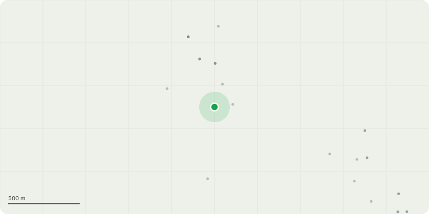
Approximate location
Proposal
One FRAXINUS EXCELSIOR - Ash (80% die back) 40cms from the wooden garage building = 28cms girthOne TAXUS BACATA - Yew - split into two at the bottom - girth one 25cms, other 29cmsAll to be cut down to bottom as they are a danger to the building with falling branches.Importantly, only 40 cms away from the garage steps 134 cms from the main building. Their roots are shallow this will/is damaging the building.Top of LAURUS - Laurel, to hedging height, currently prone to weathering and falling onto community driveway. I have spoken to two arborists who agree that this work should have been done some time ago. I am a new resident and so trying to make the site safe for the shared public driveway and garage building they sit next to.All trees are listed on FIG.1 and are accurately drawn to scale 1:50FIG 2 - shows area in which the garage sits in relation to the main house - Down Cottage - taken from inside the gate of the property looking South. and S/EFIG 3 - shows damage to the garage roof, tree dieback and the area from the shared drive to Monk Sherborne house from Ramsdell Road - W to E and E to W.FIG 4 - Aerial views of Down Cottage, Monk Sherborne, Tadley Hampshire RG265HL with Google maps and Drone photography
Key dates
- Received 28 Jul 2025
- Validated 30 Jul 2025
- Started 30 Jul 2025
- Decided 1 Sept 2025
Planning history / related applications
No related planning applications have been identified in the current public OGL dataset.
Inside plotEdge
Go beyond the public record
This page is the public OGL record. plotEdge adds the private intelligence layer for this site - open it in the app to unlock:
- Ownership & title Registered owner and title from HM Land Registry.
- Viability & build potential Site scoring and development upside.
- Constraints Flood risk, green belt, conservation areas and designations.
- Approval signal Planning risk and approval-likelihood analysis.
- Comparable applications Decisions on similar nearby sites, side by side.
- Status alerts Get notified the moment this application changes.
Source: public planning application data from Basingstoke and Deane, reused under the Open Government Licence v3.0. View the council source record. Council documents and drawings are not republished on plotEdge.