Basingstoke and Deane
Basingstoke and Deane/T/00377/25/TCA
6 Fairclose Terrace Whitchurch Hampshire RG28 7AW
- Reference
- Basingstoke and Deane/T/00377/25/TCA
- Authority
- Basingstoke and Deane
- Application type
- Trees in conservation area
- Address
- 6 Fairclose Terrace Whitchurch Hampshire RG28 7AW
- Postcode
- RG28 7AW
- Status
- Unknown
- Decision
- Raise No Objection
- Received
- 28 Jul 2025
- Validated
- 28 Jul 2025
- Started
- 28 Jul 2025
- Decided
- 19 Aug 2025
- Source council
- Basingstoke and Deane
- Council source record
- View public record
- Public data licence
- Open Government Licence v3.0
- Record updated
- 18 Jul 2026
- SEO index generated
- 24 Jul 2026
Location
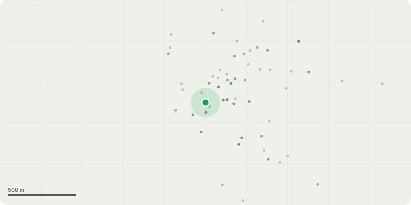
Approximate location
Proposal
Tree 1; no change Tree 2: remove branches at top of crown to move away from telegraph pole marked as A in sketch (believed to be a power supply line). Currently very close and touches during winds see photo 1. Proposal to move branches to be 1m from telegraph pole. Also remove hanging branches that have snapped in winds causing danger to occupants see red box in photo 2. Tree Tree 3: remove of 2 smaller (non main) trunks that has been previously cut. Ivy and holly growing up 1 trunk which is at risk of falling into neighbouring building ? see red box in photo 3. Other smaller trunk is less than 75mm in diameter and overhangs GP surgery see blue box in photo 3.Tree 4: lift crown by trimming hanging branches unable to support weight (drooping) see red box in photo 4. Lift to height of 4m. To tidy tree and stop branches falling into garden.Tree 5: no change Tree 6: lift crown by trimming hanging branches unable to support weight (drooping) see red box in photo 5. Lift to height of 4m. To tidy tree and stop branches falling into garden.Tree 7: lift crown by trimming hanging branches unable to support weight (drooping) see red box in photo 5. Lift to height of 4m. To tidy tree and stop branches falling into garden.Tree 8: no change All trees are believed to be sycamore trees with the exception of tree 1, which is believed to be an oak tree.
Key dates
- Received 28 Jul 2025
- Validated 28 Jul 2025
- Started 28 Jul 2025
- Decided 19 Aug 2025
Planning history / related applications
No related planning applications have been identified in the current public OGL dataset.
Inside plotEdge
Go beyond the public record
This page is the public OGL record. plotEdge adds the private intelligence layer for this site - open it in the app to unlock:
- Ownership & title Registered owner and title from HM Land Registry.
- Viability & build potential Site scoring and development upside.
- Constraints Flood risk, green belt, conservation areas and designations.
- Approval signal Planning risk and approval-likelihood analysis.
- Comparable applications Decisions on similar nearby sites, side by side.
- Status alerts Get notified the moment this application changes.
Source: public planning application data from Basingstoke and Deane, reused under the Open Government Licence v3.0. View the council source record. Council documents and drawings are not republished on plotEdge.