Basingstoke and Deane
Basingstoke and Deane/T/00295/25/TCA
Orchard House Cleves Lane Upton Grey Hampshire RG25 2RF
- Reference
- Basingstoke and Deane/T/00295/25/TCA
- Authority
- Basingstoke and Deane
- Application type
- Trees in conservation area
- Address
- Orchard House Cleves Lane Upton Grey Hampshire RG25 2RF
- Postcode
- RG25 2RF
- Status
- Unknown
- Decision
- Raise No Objection
- Received
- 16 Jun 2025
- Validated
- 16 Jun 2025
- Started
- 16 Jun 2025
- Decided
- 9 Jul 2025
- Source council
- Basingstoke and Deane
- Council source record
- View public record
- Public data licence
- Open Government Licence v3.0
- Record updated
- 18 Jul 2026
- SEO index generated
- 24 Jul 2026
Location
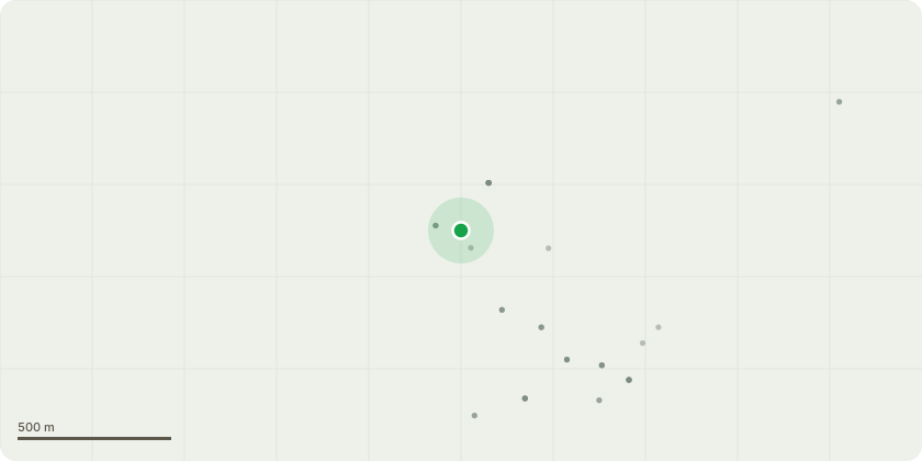
Approximate location
Proposal
T1 - Mature Lime -reduce tops by 3m to suitable growth points to reduce windsail in high winds and prevent further stress on top of crown approx 24m to 21m -reduce sides by 2m to balance crown heiight and reduce wind stress on ends of limbs over surrounding gardens approx 8m to 6m -crown raise to 3.5m T2 - Hornbeam (to left of lime) -pollard back to previous pruning points approx 50% in all dimensions as tree has outgrown its location and preventing surrounding trees and shrubs from growing and unbalancing lime -approx height 8m to 5m -approx 7m spread to 5m T3- AcaciaDeclined and severe dieback in crown unknown reason but historic honey fungus present and beech tree previously removed -fell tree grind stump and replace with flowering cherry or weeping copper beech
Key dates
- Received 16 Jun 2025
- Validated 16 Jun 2025
- Started 16 Jun 2025
- Decided 9 Jul 2025
Planning history / related applications
No related planning applications have been identified in the current public OGL dataset.
Inside plotEdge
Go beyond the public record
This page is the public OGL record. plotEdge adds the private intelligence layer for this site - open it in the app to unlock:
- Ownership & title Registered owner and title from HM Land Registry.
- Viability & build potential Site scoring and development upside.
- Constraints Flood risk, green belt, conservation areas and designations.
- Approval signal Planning risk and approval-likelihood analysis.
- Comparable applications Decisions on similar nearby sites, side by side.
- Status alerts Get notified the moment this application changes.
Source: public planning application data from Basingstoke and Deane, reused under the Open Government Licence v3.0. View the council source record. Council documents and drawings are not republished on plotEdge.