Basingstoke and Deane
Basingstoke and Deane/T/00064/26/TCA
38 Winchester Road Whitchurch Hampshire RG28 7HP
- Reference
- Basingstoke and Deane/T/00064/26/TCA
- Authority
- Basingstoke and Deane
- Application type
- Trees in conservation area
- Address
- 38 Winchester Road Whitchurch Hampshire RG28 7HP
- Postcode
- RG28 7HP
- Status
- Unknown
- Decision
- Raise No Objection
- Received
- 29 Jan 2026
- Validated
- 30 Jan 2026
- Started
- 30 Jan 2026
- Decided
- 25 Feb 2026
- Source council
- Basingstoke and Deane
- Council source record
- View public record
- Public data licence
- Open Government Licence v3.0
- Record updated
- 18 Jul 2026
- SEO index generated
- 24 Jul 2026
Location
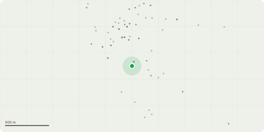
Approximate location
Proposal
T1- Ash- Pollard down to a 5m height - originally a. Self set on boundary between two properties, the tree stands within 1.5m of the property overhanging roof and washing area causing excessive shade to both properties and gardens. It contributes to the damp at number 38. The tree has to be regularly( see other applications) pruned to prevent it touching the fabric of the building, in these financially constrained times a financial burden becoming harder to meet.The first signs of ADB are visible in the sparse budding within the crown of the tree.The proposed work will relieve to greater and lesser extent all the above except the ADB. Though from my observational experience over the last 10 years or so, pollarding has reinvigorated a small number of Ash with ABH. Pollarding of Ash, historically, is not an uncommon practice, especially in rural locations.Our client has already taken steps for succession planning for the day they lose the Ash to ADB with recent planting of tree in their very small garden.
Key dates
- Received 29 Jan 2026
- Validated 30 Jan 2026
- Started 30 Jan 2026
- Decided 25 Feb 2026
Planning history / related applications
No related planning applications have been identified in the current public OGL dataset.
Inside plotEdge
Go beyond the public record
This page is the public OGL record. plotEdge adds the private intelligence layer for this site - open it in the app to unlock:
- Ownership & title Registered owner and title from HM Land Registry.
- Viability & build potential Site scoring and development upside.
- Constraints Flood risk, green belt, conservation areas and designations.
- Approval signal Planning risk and approval-likelihood analysis.
- Comparable applications Decisions on similar nearby sites, side by side.
- Status alerts Get notified the moment this application changes.
Source: public planning application data from Basingstoke and Deane, reused under the Open Government Licence v3.0. View the council source record. Council documents and drawings are not republished on plotEdge.