Basingstoke and Deane
Basingstoke and Deane/T/00063/25/TCA
Worting House Church Lane Basingstoke Hampshire RG23 8PY
- Reference
- Basingstoke and Deane/T/00063/25/TCA
- Authority
- Basingstoke and Deane
- Application type
- Trees in conservation area
- Address
- Worting House Church Lane Basingstoke Hampshire RG23 8PY
- Postcode
- RG23 8PY
- Status
- Unknown
- Decision
- Raise No Objection
- Received
- 3 Feb 2025
- Validated
- 4 Feb 2025
- Started
- 4 Feb 2025
- Decided
- 3 Mar 2025
- Source council
- Basingstoke and Deane
- Council source record
- View public record
- Public data licence
- Open Government Licence v3.0
- Record updated
- 18 Jul 2026
- SEO index generated
- 24 Jul 2026
Location
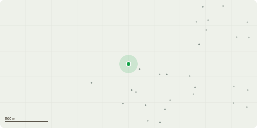
Approximate location
Proposal
G1 4 x Lime trees outside the main entrance - Fell to ground level by carefully dismantling using our MEWP. Stack timber at the base of the trees for collection.Historically there has been 2 out of the 6 original trees planted that have failed and the remaining trees are dying back and have visual signs of decay. Given their location, next to the walkway, they should be removed and replaced with a more suitable speciesG1 Stumps- Grind down Stumps to 300mm below current ground level and grindings to be left in holes for settlement (this includes the 2 x old stumps within the group)T2 Dead Ivy covered Sycamore on the roadside boundary - Fell to ground level. This tree is dead and dangerousT3 Lime tree in the middle of the parkland - Half of the tree has already split out and failed. Fell to ground level the remaining half.
Key dates
- Received 3 Feb 2025
- Validated 4 Feb 2025
- Started 4 Feb 2025
- Decided 3 Mar 2025
Planning history / related applications
No related planning applications have been identified in the current public OGL dataset.
Inside plotEdge
Go beyond the public record
This page is the public OGL record. plotEdge adds the private intelligence layer for this site - open it in the app to unlock:
- Ownership & title Registered owner and title from HM Land Registry.
- Viability & build potential Site scoring and development upside.
- Constraints Flood risk, green belt, conservation areas and designations.
- Approval signal Planning risk and approval-likelihood analysis.
- Comparable applications Decisions on similar nearby sites, side by side.
- Status alerts Get notified the moment this application changes.
Source: public planning application data from Basingstoke and Deane, reused under the Open Government Licence v3.0. View the council source record. Council documents and drawings are not republished on plotEdge.