Basingstoke and Deane
Basingstoke and Deane/T/00048/25/TCA
20 Newbury Street Whitchurch Hampshire RG28 7DN
- Reference
- Basingstoke and Deane/T/00048/25/TCA
- Authority
- Basingstoke and Deane
- Application type
- Trees in conservation area
- Address
- 20 Newbury Street Whitchurch Hampshire RG28 7DN
- Postcode
- RG28 7DN
- Status
- Unknown
- Decision
- Raise No Objection
- Received
- 27 Jan 2025
- Validated
- 28 Jan 2025
- Started
- 28 Jan 2025
- Decided
- 3 Mar 2025
- Source council
- Basingstoke and Deane
- Council source record
- View public record
- Public data licence
- Open Government Licence v3.0
- Record updated
- 18 Jul 2026
- SEO index generated
- 24 Jul 2026
Location
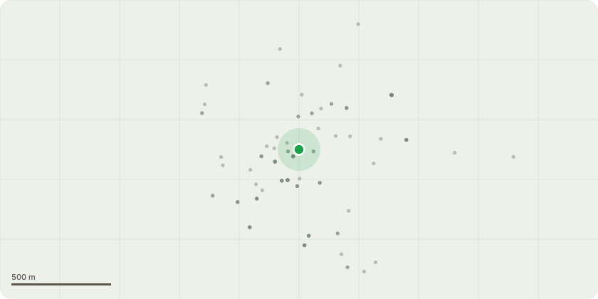
Approximate location
Proposal
The tree (Robinia) is situated on a raised bed at the north-east corner of the garden at the property. The branches over hang the gardens of number 24 next door and of number 2 Chatter Lane. In agreement with both property owners we have agreed that the tree requires pruning.This would be a repeat prune of the application made in 2020 and which read: Robinia: - removal of deadwood throughout canopy - Reduction in height by approximately 1.5m - Reduction on laterals extending over No 2 by 2-3m due to greenhouse etc - Reduction on remaining laterals on tree by between 1-2m.We have already contacted an arborist to carry out this work and they will provide the sketch plan: Hampshire Heartwood, www.reheartwood.co.uk .The reason for this work is to prevent dead wood and maybe other larger branches from falling into the gardens that are covered by the sweep of the tree during stormy weather and possibly causing damage.
Key dates
- Received 27 Jan 2025
- Validated 28 Jan 2025
- Started 28 Jan 2025
- Decided 3 Mar 2025
Planning history / related applications
No related planning applications have been identified in the current public OGL dataset.
Inside plotEdge
Go beyond the public record
This page is the public OGL record. plotEdge adds the private intelligence layer for this site - open it in the app to unlock:
- Ownership & title Registered owner and title from HM Land Registry.
- Viability & build potential Site scoring and development upside.
- Constraints Flood risk, green belt, conservation areas and designations.
- Approval signal Planning risk and approval-likelihood analysis.
- Comparable applications Decisions on similar nearby sites, side by side.
- Status alerts Get notified the moment this application changes.
Source: public planning application data from Basingstoke and Deane, reused under the Open Government Licence v3.0. View the council source record. Council documents and drawings are not republished on plotEdge.