Basingstoke and Deane
Basingstoke and Deane/T/00035/26/TCA
Edernish House Vyne Road Sherborne St John Hampshire RG24 9HX
- Reference
- Basingstoke and Deane/T/00035/26/TCA
- Authority
- Basingstoke and Deane
- Application type
- Trees in conservation area
- Address
- Edernish House Vyne Road Sherborne St John Hampshire RG24 9HX
- Postcode
- RG24 9HX
- Status
- Unknown
- Decision
- Raise No Objection
- Received
- 19 Jan 2026
- Validated
- 19 Jan 2026
- Started
- 19 Jan 2026
- Decided
- 11 Feb 2026
- Source council
- Basingstoke and Deane
- Council source record
- View public record
- Public data licence
- Open Government Licence v3.0
- Record updated
- 18 Jul 2026
- SEO index generated
- 24 Jul 2026
Location
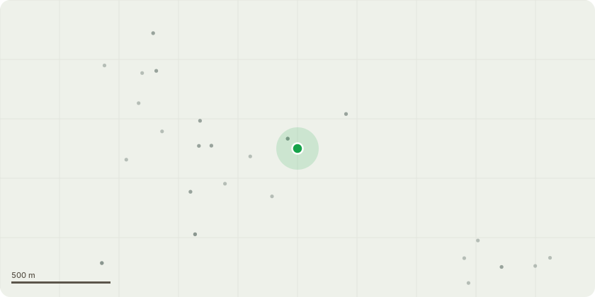
Approximate location
Proposal
Magnolia tree located on south west corner of Edernish House, off Vyne Road in Sherborne St John. Right up against the house. Proposal is to fell the tree to ground level given low amenity value, age of tree (if no longer flowers) and concern re damage to foundations of Edernish House, a listed building, given the oversized bulk of the tree. Proposal is to replace the non-native magnolia tree with a tree native to the UK in a position in the garden where it has the space to grow in a balanced way (ie not up against a wall) without damaging any structures around it. Shrubs will be plated in the flowerbeds around Edernish House once the magnolia tree has been removed
Key dates
- Received 19 Jan 2026
- Validated 19 Jan 2026
- Started 19 Jan 2026
- Decided 11 Feb 2026
Planning history / related applications
No related planning applications have been identified in the current public OGL dataset.
Inside plotEdge
Go beyond the public record
This page is the public OGL record. plotEdge adds the private intelligence layer for this site - open it in the app to unlock:
- Ownership & title Registered owner and title from HM Land Registry.
- Viability & build potential Site scoring and development upside.
- Constraints Flood risk, green belt, conservation areas and designations.
- Approval signal Planning risk and approval-likelihood analysis.
- Comparable applications Decisions on similar nearby sites, side by side.
- Status alerts Get notified the moment this application changes.
Source: public planning application data from Basingstoke and Deane, reused under the Open Government Licence v3.0. View the council source record. Council documents and drawings are not republished on plotEdge.