Barnsley
Barnsley/2025/0539
Cannon Hall, Bark House Lane, Cawthorne, Barnsley, S75 4AT
- Reference
- Barnsley/2025/0539
- Authority
- Barnsley
- Application type
- Variation of Condition(s)
- Address
- Cannon Hall, Bark House Lane, Cawthorne, Barnsley, S75 4AT
- Postcode
- S75 4AT
- Status
- Final Decision
- Decision
- Approve with Conditions
- Received
- 17 Jun 2025
- Started
- 17 Jun 2025
- Decided
- 24 Nov 2025
- Source council
- Barnsley
- Council source record
- View public record
- Public data licence
- Open Government Licence v3.0
- Record updated
- 18 Jul 2026
- SEO index generated
- 24 Jul 2026
Location
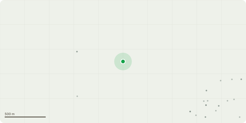
Approximate location
Proposal
Variation of condition 2 of application 2023/1035 ( Proposal to reroof two portions of the Cannon Hall Museum building, including the central block and lower flat roof portion to the south east of the main structure in lead with perimeter ventilation. Thermal upgrade to roof voids by laying breathable sheepswool insulation above the attic ceiling joists in these areas. Existing roof access stair housings are to be re-clad in lead. Three failed conical rooflights are to be replaced with double glazed examples to match the existing. Removal of an existing protective polycarbonate roof above an internal courtyard and its replacement with a protective grill, also stonework repairs and repointing to the internal walls. Minor repairs to stonework on the central block including balustrading, cornicing and chimneys with the two concrete chimney caps replaced in stone. Rainwater goods to be overhauled in the re-roofed areas and new lighting as M&E drawings.(Listed Building Consent)) to allow revision of lightwell treatment
Key dates
- Received 17 Jun 2025
- Started 17 Jun 2025
- Decided 24 Nov 2025
Planning history / related applications
No related planning applications have been identified in the current public OGL dataset.
Inside plotEdge
Go beyond the public record
This page is the public OGL record. plotEdge adds the private intelligence layer for this site - open it in the app to unlock:
- Ownership & title Registered owner and title from HM Land Registry.
- Viability & build potential Site scoring and development upside.
- Constraints Flood risk, green belt, conservation areas and designations.
- Approval signal Planning risk and approval-likelihood analysis.
- Comparable applications Decisions on similar nearby sites, side by side.
- Status alerts Get notified the moment this application changes.
Source: public planning application data from Barnsley, reused under the Open Government Licence v3.0. View the council source record. Council documents and drawings are not republished on plotEdge.