Ashford
Ashford/PA/2025/1663
35 Silver Hill Road, Willesborough, Ashford, TN24 0NZ
- Reference
- Ashford/PA/2025/1663
- Authority
- Ashford
- Address
- 35 Silver Hill Road, Willesborough, Ashford, TN24 0NZ
- Postcode
- TN24 0NZ
- Status
- Decision Made
- Source council
- Ashford
- Council source record
- View public record
- Public data licence
- Open Government Licence v3.0
- Record updated
- 12 Jul 2026
- SEO index generated
- 24 Jul 2026
Location
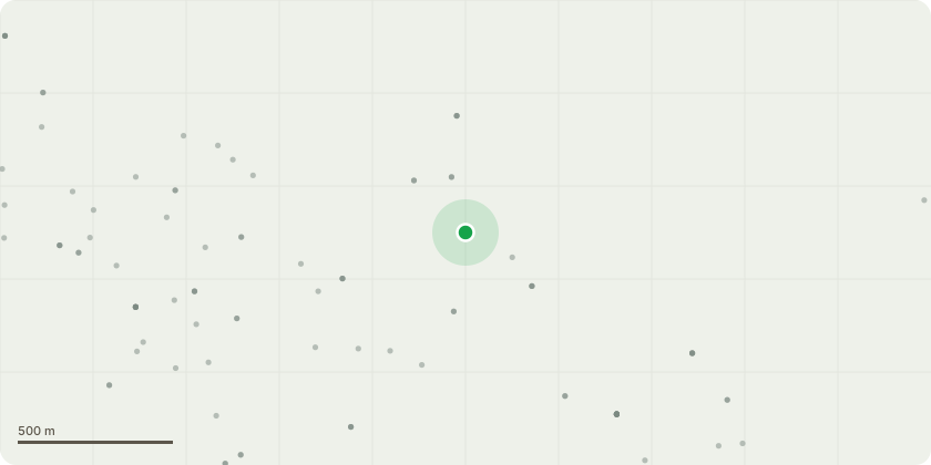
Approximate location
Proposal
Certificate of lawful development - Proposed works to a Listed Building - Relocation and enlargement of a loft hatch from the cupboard in the primary bedroom to either the landing ceiling at the top of the stairs or the spare bedroom. Work is needed in the loft in the form of removing a secondary layer of felt that is preventing good ventilation of the structural timbers. In addition to this, the firestop partition wall needs plasterboarding to meet the required level of fire separation between us and the adjacent property. At present, this work is unable to be carried out due to the size and location of the current hatch, works will include cutting through the plywood ceiling in our desired location and fit the steel frame of the loft hatch directly into the adjacent joists. If needed we will use 6"x2" timber to reinforce the joists and add extra support.
Planning history / related applications
No related planning applications have been identified in the current public OGL dataset.
Inside plotEdge
Go beyond the public record
This page is the public OGL record. plotEdge adds the private intelligence layer for this site - open it in the app to unlock:
- Ownership & title Registered owner and title from HM Land Registry.
- Viability & build potential Site scoring and development upside.
- Constraints Flood risk, green belt, conservation areas and designations.
- Approval signal Planning risk and approval-likelihood analysis.
- Comparable applications Decisions on similar nearby sites, side by side.
- Status alerts Get notified the moment this application changes.
Source: public planning application data from Ashford, reused under the Open Government Licence v3.0. View the council source record. Council documents and drawings are not republished on plotEdge.