Ashford
Ashford/PA/2025/0750
Chestnut House, Smallhythe Road, Tenterden, TN30 7LL
- Reference
- Ashford/PA/2025/0750
- Authority
- Ashford
- Address
- Chestnut House, Smallhythe Road, Tenterden, TN30 7LL
- Postcode
- TN30 7LL
- Status
- Decision Made
- Source council
- Ashford
- Council source record
- View public record
- Public data licence
- Open Government Licence v3.0
- Record updated
- 12 Jul 2026
- SEO index generated
- 24 Jul 2026
Location
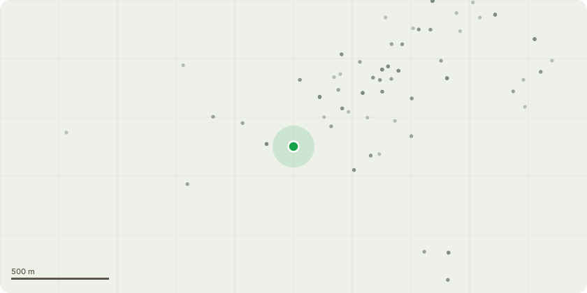
Approximate location
Proposal
Listed Building Consent for alterations to repair and refurbish the interior of the building; Ground floor - install new floor tiling, repair and strengthen opening between kitchen and utility room, remove 1980s spiral staircase, relocate ground floor wc cloakroom, remove modern stud partition wall in drawing room, reinstate original timber framed wall to original position between reception hall and dining room, reclaimed Oak floor boarding laid over existing flooring to ground floor rooms. First Floor - provide new first floor shower room, relocate bathroom and form dressing room. Second floor – Form new access into attic for storage off bed 6, and create new shower room off Bed 5.
Planning history / related applications
No related planning applications have been identified in the current public OGL dataset.
Inside plotEdge
Go beyond the public record
This page is the public OGL record. plotEdge adds the private intelligence layer for this site - open it in the app to unlock:
- Ownership & title Registered owner and title from HM Land Registry.
- Viability & build potential Site scoring and development upside.
- Constraints Flood risk, green belt, conservation areas and designations.
- Approval signal Planning risk and approval-likelihood analysis.
- Comparable applications Decisions on similar nearby sites, side by side.
- Status alerts Get notified the moment this application changes.
Source: public planning application data from Ashford, reused under the Open Government Licence v3.0. View the council source record. Council documents and drawings are not republished on plotEdge.