Ashford
Ashford/NOT/2026/0893
1 Wheel Mews, The Street, Westwell, TN25 4LQ
- Reference
- Ashford/NOT/2026/0893
- Authority
- Ashford
- Address
- 1 Wheel Mews, The Street, Westwell, TN25 4LQ
- Postcode
- TN25 4LQ
- Status
- Decision Made
- Source council
- Ashford
- Council source record
- View public record
- Public data licence
- Open Government Licence v3.0
- Record updated
- 12 Jul 2026
- SEO index generated
- 24 Jul 2026
Location
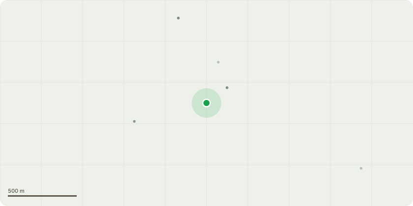
Approximate location
Proposal
T1 – Unknown deciduous species Prune to suitable growth points to reduce the overall height to approximately 5 metres and reduce lateral spread to approximately 3 metres, while retaining a natural and balanced crown form. Tree is considered too large for its surrounding area and is situated directly adjacent to the boundary fence line. Works proposed to reduce end weight and maintain the tree at a more suitable size for its location. T2 – Sycamore Fell to ground level. Tree is considered too large for the surrounding area and is contributing to excessive shading and overcrowding. T3 – Sycamore Reduce crown back to suitable growth points, reducing the overall height to approximately 13 metres and reducing lateral branch spread by approximately 1–1.5 metres, bringing the lateral spread to approximately 2.5 - 3 metres where appropriate. Retention of T3 is recommended in preference to T2, as it is considered the better specimen of the two adjoining trees. T4 – Holly Fell to ground level. Small suppressed tree located in close proximity to adjacent trees with limited light and poor form. Removal proposed due to limited amenity value and overcrowding.
Planning history / related applications
No related planning applications have been identified in the current public OGL dataset.
Inside plotEdge
Go beyond the public record
This page is the public OGL record. plotEdge adds the private intelligence layer for this site - open it in the app to unlock:
- Ownership & title Registered owner and title from HM Land Registry.
- Viability & build potential Site scoring and development upside.
- Constraints Flood risk, green belt, conservation areas and designations.
- Approval signal Planning risk and approval-likelihood analysis.
- Comparable applications Decisions on similar nearby sites, side by side.
- Status alerts Get notified the moment this application changes.
Source: public planning application data from Ashford, reused under the Open Government Licence v3.0. View the council source record. Council documents and drawings are not republished on plotEdge.