Ashford
Ashford/NOT/2026/0498
Merton House, Hambrook Lane, Chilham, CT4 8DJ
- Reference
- Ashford/NOT/2026/0498
- Authority
- Ashford
- Address
- Merton House, Hambrook Lane, Chilham, CT4 8DJ
- Postcode
- CT4 8DJ
- Status
- Decision Made
- Source council
- Ashford
- Council source record
- View public record
- Public data licence
- Open Government Licence v3.0
- Record updated
- 12 Jul 2026
- SEO index generated
- 24 Jul 2026
Location
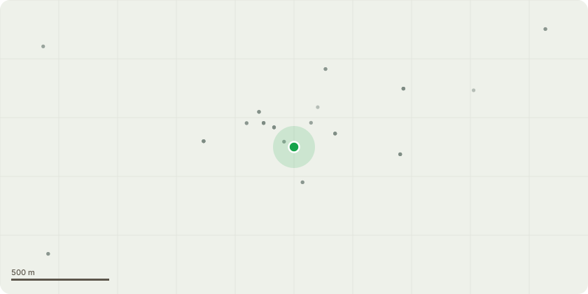
Approximate location
Proposal
T1 - Silver Birch - Fell to ground level - dead (troll.severe.extremely) T2 - Yew - Fell to ground level (fruit.ruby.stylists) G1 - Remove branches overhanging fence from both sides of boundary up to 3m to allow installation of new 6ft fence on north boundary and clear roof of workshop next to T4. G2 - Fell to ground level and root grind area of shrubs to rear of property. T3 - Liquidambar - Remove broken branch (powering.summit.slightly) G3 - Conifer hedge - Fell to ground level. T4 - Ash - Fell to ground level T5 - Spruce - Fell to ground level windblown (decisions.smoke.ballooned) T6 - Bald Cypress - Fell to ground level dead (denser.pinch.decently) T7 - Cherry Fell to ground level dead T8 - Beech - Reduce south-east crown overhanging tennis court from 11m crown spread to 8m to remove interference with tennis court (tree to remain 26m tall) (Current dimensions 26h 7n 11e 10s 6w). T9 - Beech - Reduce north-east crown overhanging tennis court from 10m crown spread to 8m to remove interference with tennis court (tree to remain 26m tall) (Current dimensions 26h 11n 11e 7s 6w). G4 - Leylandii - Fell to ground level 7 stems windblown/snapped (ecologist.shut.jousting) T10 - Yew - Crown lift to 4m on east side (no overall change in crown dimensions) G5 - Beech hedge - Cut back east side in access by 1.5m, remove shrubs in top of wall. T13 - Sycamore - Cut back to boundary overhanging from neighbouring property (reduce north-east crown spread from 8m to 2m). G6 - Beech hedge - Cut back east side by 1.5m at end of workshop. All works are being undertaken to rectify a lack of maintenance at the property in recent years. These works will allow the clearance of existing structures, repairs to boundary fencing, reinstating side access where overgrown hedging prevents vehicular access, and removal of broken branches, and dead or windblown trees.
Planning history / related applications
No related planning applications have been identified in the current public OGL dataset.
Inside plotEdge
Go beyond the public record
This page is the public OGL record. plotEdge adds the private intelligence layer for this site - open it in the app to unlock:
- Ownership & title Registered owner and title from HM Land Registry.
- Viability & build potential Site scoring and development upside.
- Constraints Flood risk, green belt, conservation areas and designations.
- Approval signal Planning risk and approval-likelihood analysis.
- Comparable applications Decisions on similar nearby sites, side by side.
- Status alerts Get notified the moment this application changes.
Source: public planning application data from Ashford, reused under the Open Government Licence v3.0. View the council source record. Council documents and drawings are not republished on plotEdge.