Ashford
Ashford/NOT/2026/0127
Verralls Oak, Stonebridge Green Road, Egerton, Ashford, TN27 9AP
- Reference
- Ashford/NOT/2026/0127
- Authority
- Ashford
- Address
- Verralls Oak, Stonebridge Green Road, Egerton, Ashford, TN27 9AP
- Postcode
- TN27 9AP
- Status
- Decision Made
- Source council
- Ashford
- Council source record
- View public record
- Public data licence
- Open Government Licence v3.0
- Record updated
- 12 Jul 2026
- SEO index generated
- 24 Jul 2026
Location
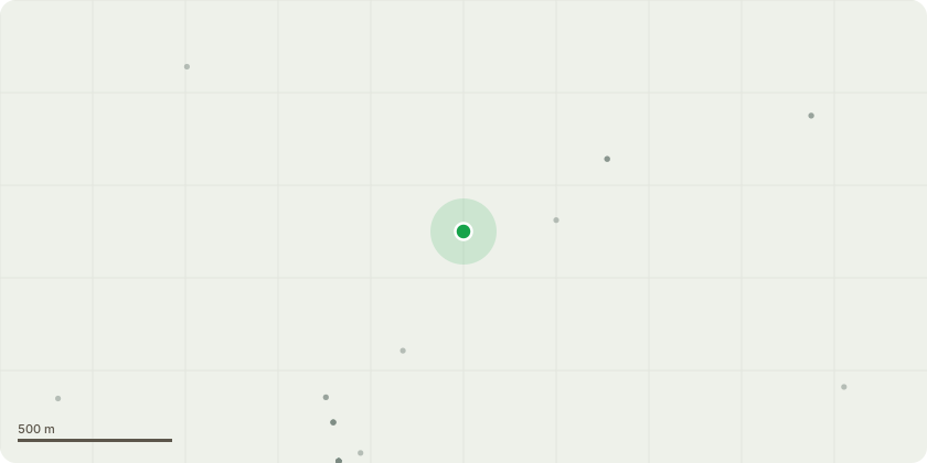
Approximate location
Proposal
0185 Common yew – prune back northern and eastern branches by up to 1.5m, back to fence line. 0186 Damson - fell to a height of approximately 1.5m to retain as part of boundary screening hedge. 0187 Group of 2 no. damson - fell to a height of approximately 1.5m to retain as part of boundary screening hedge. 0188 Damson - fell to a height of approximately 1.5m to retain as part of boundary screening hedge. 0189 Damson - fell to a height of approximately 1.5m to retain as part of boundary screening hedge. 0190 Damson - fell to a height of approximately 1.5m to retain as part of boundary screening hedge. 0191 Sycamore - prune back branches overhanging parking bay and bin storage area on north-eastern side of crown by 3m from a length of 4m to 1m. 0192 - Sycamore - Dead, ivy-covered – dismantle fell close to ground level. 0193 Group of 2 no. mature and 1 no. young Leyland cypress trees - prune back north-eastern branches overhanging no.7 by up to 1.5m, retaining a green face. 0194 Group of 6 no. mature Leyland cypress trees - prune back north-eastern branches by up to 1.5m, retaining a green face. 0195 Leyland cypress – Small, dead - fell to ground level. 0196 Group of 2 no. mature Leyland cypress trees – top to a height of approximately 8m, retaining live branches on southern side of crown. 0197 Scots pine – install a dynamic cable brace (Cobra 4 ton) at a height of approximately 12m. 0198 Group of 2 no. Leyland cypress - top both trees to a height of approximately 7m. 0199 Leyland cypress – fell close to ground level. 0200 Hazel – coppice to main stool (0.5m height).
Planning history / related applications
No related planning applications have been identified in the current public OGL dataset.
Inside plotEdge
Go beyond the public record
This page is the public OGL record. plotEdge adds the private intelligence layer for this site - open it in the app to unlock:
- Ownership & title Registered owner and title from HM Land Registry.
- Viability & build potential Site scoring and development upside.
- Constraints Flood risk, green belt, conservation areas and designations.
- Approval signal Planning risk and approval-likelihood analysis.
- Comparable applications Decisions on similar nearby sites, side by side.
- Status alerts Get notified the moment this application changes.
Source: public planning application data from Ashford, reused under the Open Government Licence v3.0. View the council source record. Council documents and drawings are not republished on plotEdge.